Forecast for tonight: More snow
Published 11:13 am Wednesday, February 25, 2015
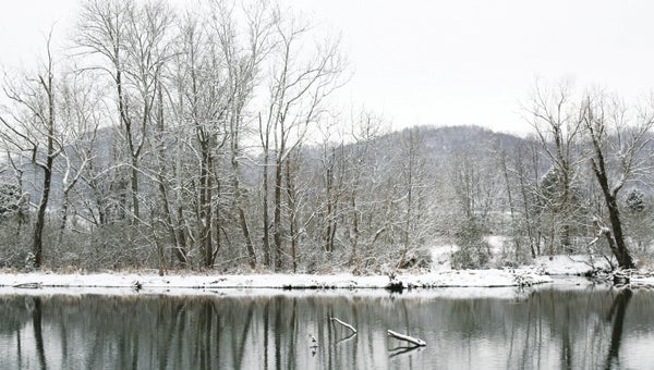
It’s not Groundhog Day but the weather system seems to be stuck, repeating the snowy forecast over and over.
Just like last week, back-to-back snow storms will make their way through the region. But, instead of bringing brutal cold and ice to the area, these storms will deliver multiple inches of snow.
Tuesday’s storm brought a wee morning hour surprise, dumping 3 to 5 inches of snow on the county. And while area residents are still recovering from that, they should also brace themselves for the next storm expected to hit the area Wednesday night and Thursday morning, one that is likely to bring as much as a half foot of additional snow National Weather Service Meteorologist Derek Eisentrout said.
“It is a similar system, with a similar track,” Eisentrout said. “Obviously we will keep an eye on it and update the forecast if accumulations are expected to increase or decrease.”
Just like Tuesday’s storm, accumulations are increasing as the storm draws nearer. Earlier forecasts called for 1 to 2 inches of snow from the system, but by Tuesday afternoon, the National Oceanic Atmospheric Administration had altered their prediction, saying the area will receive 4-6 inches by Thursday afternoon.
The next round of snow is expected to begin Wednesday evening after 6 p.m., according to NWS Warning Coordination Meteorologist Anthony Cavallucci. Any snow that falls while before the sun has set is expected to melt, but will quickly accumulate overnight, Cavallucci said.
Carter County Emergency Management Coordinator Gary Smith warned once the snow begins to fall, it will come fast and hard.
“At that point, we are expecting to see a lot of snow come relatively quickly,” Smith said. “Given that it will arrive in our area well after the sun has gone down, it will most likely not melt at all, and the roads will become hazardous quickly.”
This snow is expected to contain a lot of moisture, which brings its own set of issues, Smith said.
“This snow is expected to be heavier and wetter than the snow we received (Tuesday),” he said. “So, even though the forecaster did not mention this, it is possible that we may see some power outages due to the snow sticking on the trees and power lines.”
Smith offered some tips to stay safe during winter weather conditions. The first step is to stay off of hazardous, slippery roads unless absolutely necessary, he said. If venturing outside, Smith recommends dressing in appropriate winter clothing with layers to keep warm. Also, people should have an emergency supply kit in their homes with food, water, batteries and other necessities in case they are stuck at home in the snow, and if the power does get knocked out.
One positive with this week’s winter weather is that temperatures are not as frigid, Eisentrout said.
“Last week, we had airflow coming from the north, northwest which brought down the arctic air with it,” he said. “We are not looking at having as cold temperatures this time. It looks like after this next round of snow moves out, we will experience a gradual warming and, in the latter part of the weekend, temperatures could be in the 50s.”