TDOT seeks public input on 25-year road plan
Published 10:59 am Wednesday, February 25, 2015
The Tennessee Department of Transportation is seeking input from local motorists about what projects should be included in the department’s 25-year long-range plan.
To collect these observations, an interactive map has been set up online where people can submit their own suggestions for improvements or projects and can vote on suggestions that have already been submitted. The map can be found at http://wikimapping.com/wikimap/TN-Plan.html.
Elizabethton Director of Planning and Development Jon Hartman encouraged anyone with a suggested project or concern to go to the website and make a submission to help bring possible state-funded road projects to the county.
“You’ve heard it said that people in Nashville think the state ends at Knoxville,” Hartman said. “Well, it doesn’t. We are up here and we have concerns that we would like to see addressed.”
Making improvements to state-owned roads was tricky, Hartman said, because in most cases the projects have to be carried out by TDOT. Some instances do happen where funding is made available from the state for grants but that was not usually a common solution, he said.
“That is how we funded part of the Lynn Avenue project,” Hartman said. “In most situations, if we want to see improvements on state roads, we have to go to TDOT for those.”
This is where the online forum comes in. TDOT is collecting feedback from residents across the state on what issues they feel need to be fixed on the roads in their counties.
According to the TDOT mapping website, the online public forum was designed to help TDOT planning officials “understand issues that you are confronted with on a daily basis and how we can best allocate limited resources to investments.”
Suggested topics for the forum included safety, congestion, maintenance of the transportation system, freight, bicycle and pedestrian travel, transit availability and other issues or concerns.
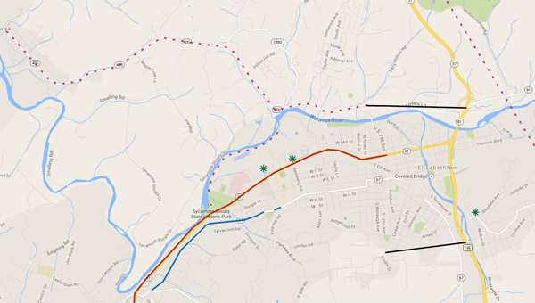
Some projects that had already been suggested were doing something the improve West Elk Avenue congestion, making improvements to the Siam Road and Bluefield Avenue intersection, making a safer bypass from Stoney Creek to Watauga and adding a turn lane on a portion of West G Street.
Any project that citizens felt should be considered by TDOT could be added to the map, Hartman said.
“By commenting on the map and by voting on what has already been submitted, you are saying that we have needs here,” he said. “The more activity that can be logged, the more it shows the community supports those needs and want to see these things done.”
Not only would the large public response show projects would be supported, Hartman said they would also likely have a bigger impact on TDOT officials who are developing the long-range plan.
“The message would be sent with more of a volume if it is the public that is coming forward and saying we want this than if it were elected officials or city staff,” Hartman said. “We encourage everyone to go to the site and put their concerns on there or to just go to the site and see what others are talking about.”