ETSU predicts above-normal temperatures this winter
Published 10:38 am Wednesday, December 14, 2022
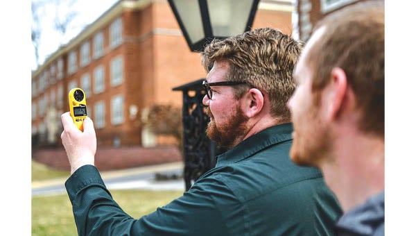
- Contributed Photo Wil Tellefson, left, and Dr. Andrew Joyner outside Ross Hall.
|
Getting your Trinity Audio player ready...
|
Like it or not, the official start to winter is only a few days away.
And for the third straight season, winter will be characterized by the La Niña pattern. That likely means higher-than-normal temperatures for much of the Appalachian Highlands and above average precipitation, according to East Tennessee State University.
“Seasonal forecasts can be pretty tricky and the federal government through the NOAA along with the Farmer’s Almanac and Punxsutawney Phil, don’t always get it right,” said Dr. Andrew Joyner and Wil Tollefson, both members of the Department of Geosciences.
Housed in Ross Hall on the main campus, ETSU is the site of the Tennessee Climate Office.
Joyner, the state’s official climatologist, and Tollefson, the assistant state climatologist, track a range of data to make their predictions. Studying what climate experts call “macro-climatic” patterns, they examine jet stream tracks, historical weather data and more.
“Keep in mind that these are just predictions and averages can be achieved in a variety of ways,” they said. “We will likely have several very cold periods and very warm periods, along with very wet periods and very dry periods throughout the winter season.”
Recent weather changes illustrate their point. The region has been drenched with rain in recent days, with another system expected to drop up to two inches of rain through Friday, the National Weather Service predicts. That follows a dry November, where parts of the state fell into a drought.
Wednesday, Dec. 21 marks the first official day of winter.
“In a typical La Niña winter, it is warm and dry south of Tennessee and cool and wet north of Tennessee, with our state being the battleground for temperature and precipitation extremes,” they said. “The seasonal forecast for this winter seems to fit this pattern.”


