Weekend cold front to put Spring on pause
Published 10:30 am Thursday, March 26, 2015
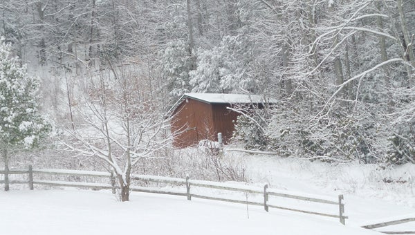
Contributed Photo/Lisa Benfield
What a difference a month makes; what a difference a week makes! This snowy barn, located in Roan Mountain, looks quite cold on this late February day. Weather forecasters say Roan Mountain could see some snow this weekend.
“Dogwood Winter” and “Blackberry Winter” are colloquial terms used throughout the South to refer to a cold snap that happens during spring — something our region can expect to experience this weekend according to current weather forecasts. The forecast also includes a possibility for some of that dreaded “S” word — snow.
A cold front began moving into the area Wednesday, bringing with it the chance for some rainfall through Friday.
But, behind that front, colder air is expected to gather, lowering the air temperature, said Forecaster Terry Getz with the National Weather Service office in Morristown.
“Normally for the last part of March, the lows for the area are around 35 and the highs are around 61,” Getz said. “The low in your neck of the woods Friday night will be in the mid-20s. On Saturday the daytime highs will be in the upper 30s in the low areas like Elizabethton, but in the higher elevations. the daytime highs will be in the low 30s.”
Saturday night the lows will dip into the lower 20s in Elizabethton while the higher elevations will see temperatures in the upper teens, Getz said.
“The coldest nights will be Friday night and Saturday night,” Getz said.
In addition to the colder temperatures, there will be some moisture in the air as the weather system moves through.
“We are carrying a slight chance of some precipitation, about 20-30 percent,” Getz said. “Places like Roan Mountain could get a dusting up to about an inch Friday night through Saturday morning.”
That forecast can change between now and Friday evening, Getz said, adding that weather conditions frequently change to alter the forecast. Residents shouldn’t be too concerned with the weekend drop in temperatures, Getz said, adding sunny days will return soon.
“It does begin to recover some by Sunday,” Getz said. “We don’t have any precipitation in the forecast for Saturday night and Sunday.”
The temperatures will also start to rebound on Sunday, he said, with the daily high temperature expected to climb into the 50s and the low that night coming in around the mid-30s.
The warming trend is expected to continue into next week as temperatures return to their season normals.