Hazardous Weather Outlook issued for parts of SW NC, E TN, SW VA
Published 10:49 am Tuesday, April 2, 2024
|
Getting your Trinity Audio player ready...
|
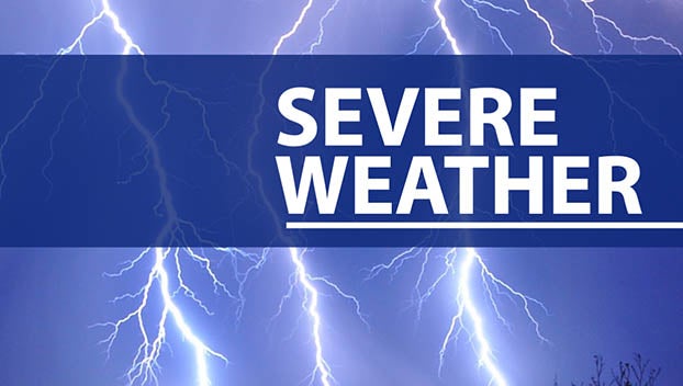
NASHVILLE — The National Weather Service has issued a Hazardous Weather Outlook for portions of southwest North Carolina, east Tennessee, and southwest Virginia. The outlook covers today and tonight, as well as the days ahead.
Today and Tonight: A line of strong to severe thunderstorms is anticipated to sweep through the forecast area late this afternoon and into the evening. This weather event is expected to precede a strong cold front that will move through the region overnight.
The primary concern with these thunderstorms is the potential for damaging winds exceeding 60 mph. Additionally, while not the main threat, the possibility of isolated tornadoes cannot be ruled out, especially in areas west of the I-75 and I-81 corridors where storms are forecasted to arrive earlier.
Days Two Through Seven (Wednesday through Monday): Following the passage of the cold front, temperatures will significantly cool at higher elevations on Wednesday into Thursday. Showers are expected to persist until late Thursday night. Consequently, some light snow accumulations are anticipated in the mountainous regions during this period.
Residents and travelers in the affected areas are advised to stay updated on weather forecasts and to take necessary precautions to ensure safety during hazardous weather conditions.
Note: This outlook is subject to change based on evolving weather patterns.


